
Related items loading ...
Name
Wapta Icefield/Peyto Glacier
Location
51.66929708, -116.5532644
ID #
54
Basin
Nelson - Saskatchewan River Basin
Additional Information (notes, web addresses, etc.)
Lead Investigator: Scott Munro
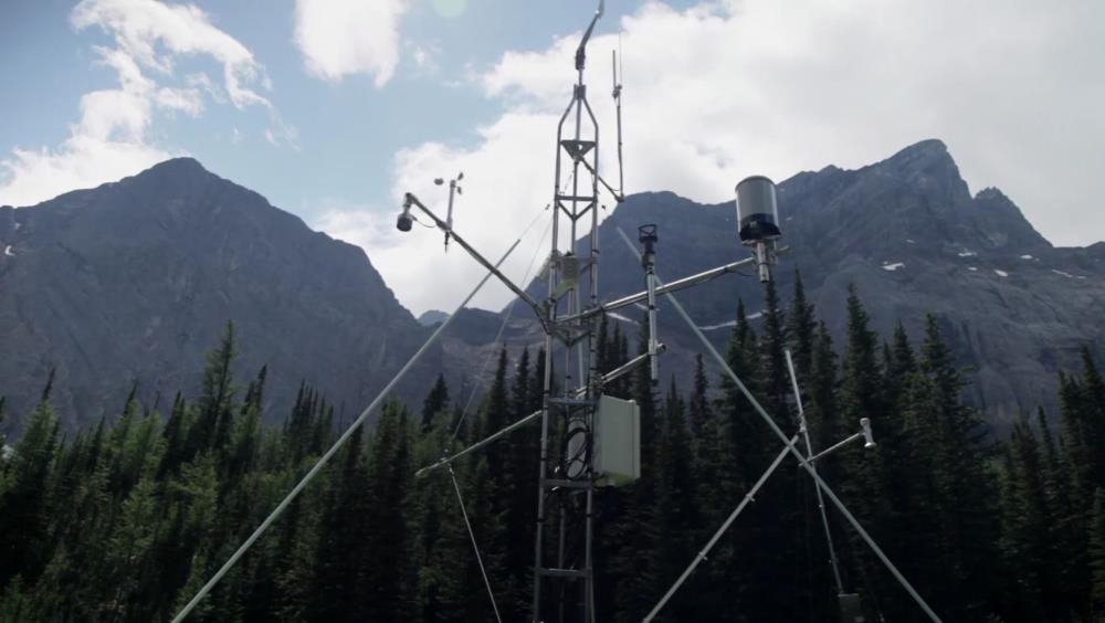
Peyto Creek drains a 24 km² basin in Banff National Park, forming part of the headwaters of the North Saskatchewan River, to which it connects through the Mistaya River. It is 60% covered by the Peyto Glacier which has been the subject of intensive mass balance, energy balance and runoff observations since the basin’s adoption as an International Hydrological Decade (IHD) research site in 1965. The basin has an automatic weather station adjacent to the glacier, a glacier mass balance field programme that is part of the National Glaciology Programme of NRCan and a streamflow gauge. Among the data assets are hourly measurements of solar radiation, air temperature, humidity, wind speed and precipitation, winter and summer mass balance measurements, streamflow records and glacier surface meteorology records.
 Legacy sites
 Create a New Record
 Alias List Editor


 GWFO
GWFO Catalogue
 Data
Data Collections
 Websites
 Map
Map
 Utilities
 . . .
. . .