
Related items loading ...
Name of Research Project
|
Related Project
|
Part
|
|
GWF-CPE: Climate-Related Precipitation Extremes
|
|
|
|
|
|
|
|
Dataset Title
4-KM WRF CONUS I Simulations
Additional Information
Abstract
Two 13-year simulations were performed by NCAR, consisting of a retrospective simulation (October 2000 to September 2013) with initial and boundary conditions from ERA-Interim and a future climate sensitivity simulation with initial and boundary conditions derived from reanalysis and modified by adding the CMIP5 ensemble mean of the high emission scenario climate change.
Purpose
Two NCAR simulations (13-year):
(1) retrospective simulation (October 2000 to September 2013) with initial and boundary conditions from ERA-Interim
(2) future climate sensitivity simulation with initial and boundary conditions derived from reanalysis and modified by adding the CMIP5 ensemble mean of the high emission scenario climate change.
Plain Language Summary
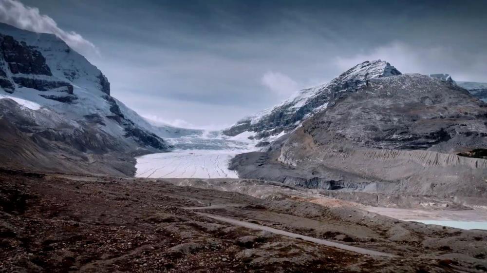
The dataset is from a high resolution climate change simulation that permits convection and resolves mesoscale orography at 4 km grid spacing over much of North America using the Weather Research and Forecasting (WRF) model. The project aims to provide new insights into the future occurrence of precipitation-related extremes including drought, intense precipitation events and hazardous winter precipitation. Such extremes impact many sectors across Canada including agriculture, electrical utilities, engineering design, health, and insurance.
Citations
Liu, Changhai, Kyoko Ikeda, Roy Rasmussen, Mike Barlage, Andrew J. Newman, Andreas F. Prein, Fei Chen, Liang Chen, Martyn Clark, Aiguo Dai, Jimy Dudhia, Trude Eidhammer, David Gochis, Ethan Gutmann, Sopan Kurkute, Yanping Li, Gregory Thompson and David Yates, 2017: Continental-scale convection-permitting modeling of the current and future climate of North America. Climate Dynamics, 49, 71-95 (
https://doi.org/10.1007/s00382-016-3327-9 ).
Dataset DOI:
https://doi.org/10.5065/D6V40SXP
Status of data collection/production
Data Update Frequency
Data Lineage (if applicable). Please include versions (e.g., input and forcing data, models, and coupling modules; instrument measurements; surveys; sample collections; etc.)
The dataset is from a high resolution climate change simulation that permits convection and resolves mesoscale orography at 4 km grid spacing over much of North America using the Weather Research and Forecasting (WRF) model. Two 13 years simulations were performed, consisting of a retrospective simulation (October 2000 to September 2013) with initial and boundary conditions from ERA-Interim and a future climate sensitivity simulation with initial and boundary conditions derived from reanalysis and modified by adding the CMIP5 ensemble mean of the high emission scenario climate change.
Terms of Use
No restriction (Data is currently open to public)
Does the data have access restrictions?
Download Links and Instructions
Total Size of all Dataset Files (GB)
198000 !
File formats and online databases
 Legacy sites
 Metadata Editor
 Alias List Editor
 Master
 Data
Data Collections
 Websites
 Map
Map
 Utilities
 . . .
. . .