
Related items loading ...
Section 1: Site Overview
Research Site Name
Hidden Valley Research Site #1
Research Site ID #
Catchment Name
Hidden Valley Catchment
Primary Contacts
Site Location
|
Coordinate Format
|
Latitude
|
Longitude
|
|
Degrees Minutes Seconds
|
See catchment
|
|
|
Decimal Degrees
|
|
|
Elevation
|
Minimum
|
Maximum
|
|
See catchment
|
|
Additional Features of this Site
Additional Information (notes, web addresses, etc.)
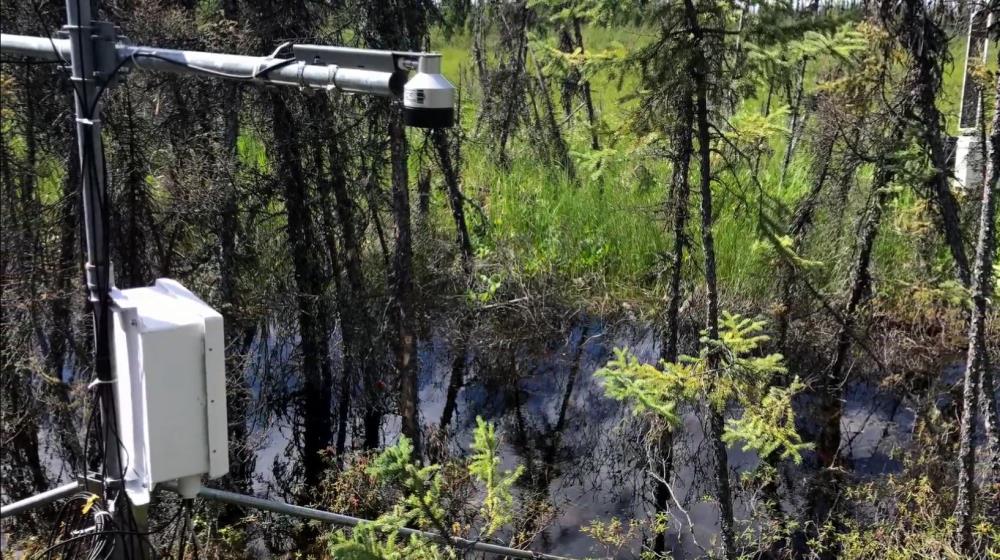
Section 3: Forcing Data
Standard Forcing Variables
|
Forcing Variable
|
Instrumentation Description
|
Temporal Resolution
|
|
T
|
Rotronic HygroClip2
|
|
|
RH
|
Rotronic HygroClip2
|
|
|
K in
|
|
|
|
K out
|
|
|
|
L in
|
|
|
|
L out
|
|
|
|
Net Radiometer
|
|
|
|
Wind Speed
|
|
|
|
Wind Direction
|
|
|
|
Precipitation
|
|
|
|
Pressure
|
|
|
Additional Forcing Variables
Additional Forcing Variable Information
Permafrost sensors throughout the upper catchment
2 snow AWS to be installed
Section 4: Hydrological Instrumentation
Standard Hydrological Instrumentation (including sensor name and model)
|
Hydrological Variable
|
Instrumentation Description
|
Temporal Resolution
|
|
Water Level
|
Yes (past data)
|
|
|
Discharge Method
|
|
|
|
Water Temperature
|
|
|
|
Isotope Types (e.g., O18, D, T)
|
|
|
|
Water Conductivity
|
|
|
|
Turbidity
|
|
|
|
Sediment Load (Gravels)
|
|
|
|
Water Sampling Hydrogeochemistry (Elements)
|
|
|
|
Groundwater Level
|
|
|
|
Soil Moisture
|
Yes, 2 setups
|
|
Additional Hydrological Instrumentation
Additional Hydrological Information
Section 5: Hydrometric/Cryospheric Measurements
Standard Hydrometric/Cryospheric Measurements
|
Hydrometric/Cryospheric Variable
|
Measurement Description
|
Temporal Resolution
|
|
Terrestrial Laser Scanner
|
|
N/A
|
|
UAV Sensors
|
|
N/A
|
|
Snow Surveys
|
On glacier, density
|
N/A
|
|
Time-lapse Photographs
|
|
|
|
SWE Instruments, Pillows
|
to be installed in 2022
|
|
|
Snow Depth
|
Campbell SR50
|
|
|
Soil Temperature
|
|
|
|
Surface Temperature
|
|
|
|
Eddy Covariance
|
|
|
|
Ice Elevation
|
|
N/A
|
|
Debris Covered Ice Elevation
|
None
|
N/A
|
|
GlacierMassBalance
|
Yes
|
N/A
|
|
Glacier Ice Thickness
|
GPR survey in 2015
|
N/A
|
Additional Hydrometric/Cryospheric Measurements
Additional Hydrometric/Cryospheric Measurement Information
Section 6: Hydrological Modelling Data
Vegetation Map
Soil Map
Soil Depth Information
No
Digital Elevation Map (and Spatial Resolution)
5 meter
Additional Modelling Information
 Metadata Editor
 Record List
 Alias List Editor
 Legacy sites

 GWFNet
 Master
 Research
 Map
Map
 Advanced
 Tools
Tools
 . . .
. . .