
Related items loading ...
Name of Research Project
|
Related Project
|
Part
|
|
Global Water Futures
|
|
|
|
|
|
|
|
Program Affiliations
Dataset Title
The Role of Basin Geometry in Mountain Snowpack Responses to Climate Change: Table 1
Additional Information
Creators and Contributors
|
Joseph Shea | Author, Principal Investigator, Point of Contact | joseph.shea@unbc.ca | University of Northern British Columbia |
Paul Whitfield | Author | | University of Saskatchewan |
Xing Fang | Author | | University of Saskatchewan |
John Pomeroy | Author | | University of Saskatchewan |
Abstract
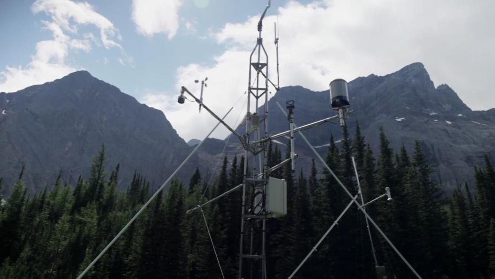
Snowmelt contributions to streamflow in mid-latitude mountain basins typically dominate other runoff sources on annual and seasonal timescales. Future increases in temperature and changes in precipitation will affect both snow accumulation and seasonal runoff timing and magnitude, but the underlying and fundamental roles of mountain basin geometry and hypsometry on snowmelt sensitivity have received little attention. To investigate the role of basin geometry in snowmelt sensitivity, a linear snow accumulation model and the Cold Regions Hydrological Modeling (CRHM) platform driven are used to estimate how hypsometry affects basin-wide snow volumes and snowmelt runoff. Area-elevation distributions for fifty basins in western Canada were extracted, normalized according to their elevation statistics, and classified into three clusters that represent top-heavy, middle, and bottom-heavy basins. Prescribed changes in air temperature alter both the snow accumulation gradient and the total snowmelt energy, leading to snowpack volume reductions (10–40%), earlier melt onsets (1–4 weeks) and end of melt season (3 weeks), increases in early spring melt rates and reductions in seasonal areal melt rates (up to 50%). Basin hypsometry controls the magnitude of the basin response. The most sensitive basins are bottom-heavy, and have a greater proportion of their area at low elevations. The least sensitive basins are top-heavy, and have a greater proportion of their area at high elevations. Basins with similar proportional areas at high and low elevations fall in between the others in terms of sensitivity and other metrics. This work provides context for anticipating the impacts of ongoing hydrological change due to climate change, and provides guidance for both monitoring networks and distributed modeling efforts.
Purpose
Keywords
|
Mountain |
Snowpack |
Hydrology |
Elevation |
Climate Change |
Citations
Shea, J. M., Whitfield, P. H., Fang, X., Pomeroy, J. W. (2021). The Role of Basin Geometry in Mountain Snowpack Responses to Climate Change. Table 1. Front. Water 3: 604275. Supplemental data.
https://doi.org/10.3389/frwa.2021.604275
Shea, J. M., Whitfield, P. H., Fang, X., Pomeroy, J. W. (2021). The Role of Basin Geometry in Mountain Snowpack Responses to Climate Change. Front. Water 3: 604275.
https://doi.org/10.3389/frwa.2021.604275
Dataset Version
1
Dataset Creation Date
2021-02-11
Status of data collection/production
Data Update Frequency
Primary Source of Data
Data Lineage (if applicable). Please include versions (e.g., input and forcing data, models, and coupling modules; instrument measurements; surveys; sample collections; etc.)
Terms of Use
Download Links and Instructions
File formats and online databases
 Legacy sites
 Metadata Editor
 Alias List Editor
 Master
 Data
Data Collections
 Websites
 Map
Map
 Utilities
 . . .
. . .