
Related items loading ...
Publication Type
Book Chapter
Authorship
Culp, J.M., Luiker, E.A., Brua, R.B., Musetta-Lambert, J.L., Halliwell, D.B., Lento, J.
Title
Mackenzie River Basin
Year
2023
Publication Outlet
Rivers of North America (Second Edition), 2023, 746-792
DOI
Citation
Culp, J.M., Luiker, E.A., Brua, R.B., Musetta-Lambert, J.L., Halliwell, D.B., Lento, J. (2023) Mackenzie River Basin. Rivers of North America (Second Edition), 2023, 746-792.
https://doi.org/10.1016/B978-0-12-818847-7.00017-3
Abstract
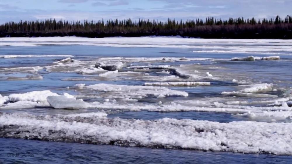
The Mackenzie River chapter provides important reference information on the geology, hydrology, climate, ecology, human impacts, special features, and research and management needs for seven tributaries of the Mackenzie Basin. These tributary rivers, namely the Smoky, Steepbank, Hay, South Nahanni, Yellowknife, Arctic Red and Peel, are within the Lower and Upper Mackenzie freshwater ecoregions, include 10 physiographic provinces and Tundra, Taiga, Northwestern Forested Mountains, and Northern Forests Level I terrestrial ecoregions. Most of these basins were covered under the enormous, continental Laurentide Ice Sheet. Because of this glacial history, as well as the very harsh and cold climate where rivers are ice-covered for more than 6 months, riverine biodiversity is relatively low. The chapter provides a current review of the available literature on these basins and provides key recommendations for future research and management to protect and conserve these unique ecosystems
 Legacy sites
 Create a New Record
 Alias List Editor


 GWFO
GWFO Catalogue
 Data
Data Collections
 Websites
 Map
Map
 Utilities
 . . .
. . .