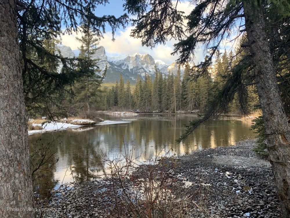
Section 1: Site Overview
Identity
Basin / Site Name
|
Marmot Creek
|
Country; Province/State
|
Kananaskis, Alberta, Canada
|
Website (if available)
|
|
Operational Management
|
|
Oversight/Contacts
Basin / Site Location (Centroid Coordinates)
Coordinate Format
|
Latitude
|
Longitude
|
Degrees Minutes Seconds
|
|
|
Decimal Degrees
|
|
|
Purpose / Scientific Focus
Basin / Site Characteristics
Location (Physiographic Region)
|
|
Area (km2)
|
|
Elevation (m; Mean, Maximum, Minimum)
|
|
Description (Physical–Ecological–Climatic Characteristics)
|
|
Drainage / River System
|
|
Site History or Historical Context
|
|
Years of Data
|
|
Other Information
Glacierized Area (% and year(s) measured)
|
|
Main Land Cover(s)
|
|
Lithology / Soils
|
|
|
J F M A M J J A S O N D A
|
Mean Monthly and Annual Temperature (°C)
|
|
|
J F M A M J J A S O N D A
|
Mean Total Monthly and Annual Precipitation (mm)
|
|
Snow Characteristics
|
|
Additional Noteworthy Characteristics of Basin/Site
|
|
Section 2: Data and Observations
Available Geospatial Data
Digital Elevation Model
|
|
Landcover and Soils
|
|
Stream/River Network
|
|
Basin Delineation / Shapefile
|
|
Observation Stations
Data Availability and Access
Meteorological Variables and Sensor Details
Additional Notes and Details on Meteorological Observations
Hydrological Variables and Sensor Details
Additional Notes and Details on Hydrological Observations
Water Quality Variables and Sensor Details
Additional Notes and Details on Water Quality Observations
Other Hydrological and Cryospheric Measurements and Observations
Additional Notes and Details on Other Measurements and Observations
Relevant Modelling Activity (Model Applications, Purpose, Advancements, etc.)
Additional Information (Key Papers, Articles/Media, Photographs, etc.)