
Related items loading ...
|
Basin / Site Name
|
Alder Creek Smart Watershed
|
|
Country; Province/State
|
Canada
|
|
Website
|
|
|
Operational Management
|
University of Waterloo
|
Oversight/Contacts
|
David Rudolph | Site PI | drudolph@uwaterloo.ca
519-888-4567, ext. 36778 |
Andrew Wiebe | Observatory Manager | |
Corey Zanatta | Key User | |
Hanna Szydlowski | Key User | |
Matthew Pendleton | Key User | |
Basin / Site Location (Centroid Coordinates)
|
Coordinate Format
|
Latitude
|
Longitude
|
|
Degrees Minutes Seconds
|
|
|
|
Decimal Degrees
|
43.398
|
-80.546
|
Purpose / Scientific Focus
The Alder Creek watershed provides source water from the aquifers of the Waterloo Moraine for multiple well fields that supply the cities of Kitchener and Waterloo. Recharge rates and human impacts on streamflow are important topics for the watershed, and many numerical models of the area have been constructed. In order to support these types of analyses, field equipment was deployed within the watershed between 2013 and 2018 to monitor groundwater levels, stream stage, soil moisture, soil temperature, rainfall, and other weather parameters.
|
Location (Physiographic Region)
|
|
|
Area (km2)
|
|
|
Elevation (m; Mean, Maximum, Minimum)
|
|
|
Description (Physical–Ecological–Climatic Characteristics)
|
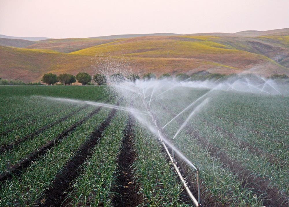
70% agricultural, urban areas, sand and gravel extraction pits,
|
|
Drainage / River System
|
|
|
Site History or Historical Context
|
|
|
Years of Data
|
|
|
Glacierized Area (% and year(s) measured)
|
0%
|
|
Main Land Cover(s)
|
woodlots and wetlands
|
|
Lithology / Soils
|
sand and gravel
|
|
|
J F M A M J J A S O N D A
|
|
Mean Monthly and Annual Temperature (°C)
|
|
|
|
J F M A M J J A S O N D A
|
|
Mean Total Monthly and Annual Precipitation (mm)
|
|
|
Snow Characteristics
|
|
|
Additional Noteworthy Characteristics of Basin/Site
|
|
Observation Stations
|
Weather Station | WS1 | | | | |
Weather Station | WS2 | | | | |
Weather Station | WS3 | | | | |
Weather Station | WS4 | | | | |
Weather Station | WS5 | | | | |
Weather Station | WS6 | | | | |
Weather Station | WS7 | | | | |
Meteorological Variables and Sensor Details
|
Air temperature (∘C) and relativehumidity (%) | WS1 | HC2-S3 | | | | |
Wind speed (m s−1) and wind direction (∘ from north) [Measurement height above ground] | " " | R. M. Young 05103 [3 m] | | | | |
Rainfall (rain gauge) [Measurement height above ground] | " " | TE525WS / TB32 [1 m] | | | | |
Snowfall (sonic snow depth) | " " | SR50A (November 2014 to April 2015 only) | | | | |
Incoming solar radiation (W m−2) | " " | SPLite2 | | | | |
Barometric pressure | " " | N/A3 | | | | |
Data logger | " " | CR1000 | | | | |
Additional instruments | " " | Observation well: water level and temperature – PT12® | | | | |
Telemetry | " " | RAVEN X-HSPA cellular modem | | | | |
| | | | | | |
Air temperature (∘C) and relativehumidity (%) | WS2/WS3/WS4/WS5 | HMP155 | | | | |
Wind speed (m s−1) and wind direction (∘ from north) [Measurement height above ground] | " " | R. M. Young 05103 [3 m] | | | | |
Rainfall (rain gauge) [Measurement height above ground] | " " | TB3 [1 m] | | | | |
Snowfall (sonic snow depth) | " " | SR50A (November 2014 to April 2015 only) | | | | |
Incoming solar radiation (W m−2) | " " | EQ08-SE | | | | |
Barometric pressure | " " | CS106 (WS4 only) | | | | |
Data logger | " " | Sutron 9210B | | | | |
Additional instruments | " " | N/A | | | | |
Telemetry | " " | BT6801 cellular modem | | | | |
| | | | | | |
Air temperature (∘C) and relativehumidity (%) | WS6 | HMP45C / HMP1554 | | | | |
Wind speed (m s−1) and wind direction (∘ from north) [Measurement height above ground] | " " | R. M. Young 05103 [3 m] | | | | |
Rainfall (rain gauge) [Measurement height above ground] | " " | TB35 (×2) [1 m] | | | | |
Snowfall (sonic snow depth) | " " | SR50A (November 2014 to April 2015 only) | | | | |
Incoming solar radiation (W m−2) | " " | SPLite2/ EQ08-SE4 | | | | |
Barometric pressure | " " | N/A | | | | |
Data logger | " " | CR1000/ Sutron 9210B4 | | | | |
Additional instruments | " " | Observation wells: water levels and temperatures – PT12® | | | | |
Telemetry | " " | BT6801 cellular modem | | | | |
| | | | | | |
Air temperature (∘C) and relativehumidity (%) | WS7 | HMP45C | | | | |
Wind speed (m s−1) and wind direction (∘ from north) [Measurement height above ground] | " " | R. M. Young 05103 [3 m] | | | | |
Rainfall (rain gauge) [Measurement height above ground] | " " | TE525WS / TB35 [1 m] | | | | |
Snowfall (sonic snow depth) | " " | SR50A (November 2014 to April 2015 only) | | | | |
Incoming solar radiation (W m−2) | " " | CNR16 | | | | |
Barometric pressure | " " | Young 61205V | | | | |
Data logger | " " | CR23X / CR1000 | | | | |
Additional instruments | " " | Soil moisture – CS616 | | | | |
Telemetry | " " | BT6801 cellular modem | | | | |
Additional Notes and Details on Meteorological Observations
GW recharge ~ 7 municipal well fields
Non-point source contaminants (NO3- & Cl-)
Monitoring
Every 2 weeks - water levels
Monthly water quality at selected sites
Currently deployed:
1x CR1000 weather station
1x CR1000 stream station
16x Solinst Leveloggers
Deployable equipment:
Leveloggers, weather stations, temperature sensors, drive-point wells, mini-piezometers, streambed temperature profiler, pumps
Other Hydrological and Cryospheric Measurements and Observations
|
Manual water levels at 8 shallow wells, 24 stream mini-piezometers
| | Periodic | |
Stream gauging via ADCP at 4 stations, rating curve points
| | Periodic | |
Upcoming: New stream stage/stream gauging locations | | Periodic | |
Datasets and Real-time Data Feeds
Other Datasets and Real-time Data Feeds
Three years of data is available on FRDR
Dataset Meteorological and Hydrological Data from the Alder Creek Watershed, Grand River Basin, Ontario
https://gwfnet.net/Metadata/Record/T-2020-05-28-H16QPj1LSEkeVAH1SBfg6Rkg
Data storage/access/sharing:
Field data is downloaded and collected monthly and uploaded to a shared OneDrive folder (PI, Observatory Manager, grad students)
Quality assurance and control by MSc and PhD students
Long-term preservation plan is to publish on FRDR after students complete degrees
 Legacy sites
 Metadata Editor
 Alias List Editor
 Master
 Data
Data Collections
 Websites
 Map
Map
 Utilities
 . . .
. . .