
Related items loading ...
Section 1: Publication
Publication Type
Thesis
Authorship
Lubiniecki, T. I.
Title
Extending Ice-Jam Flood Hazard Assessment Systems to Ungauged River Reaches with the Application of Dendrogeomorphological Methods
Year
2024
Publication Outlet
USASK Harvest - Theses and Dissertations
DOI
ISBN
ISSN
Citation
Lubiniecki, Teagan I (2024) Extending Ice-Jam Flood Hazard Assessment Systems to Ungauged River Reaches with the Application of Dendrogeomorphological Methods, USASK Harvest - Theses and Dissertations,
https://hdl.handle.net/10388/15478
Abstract
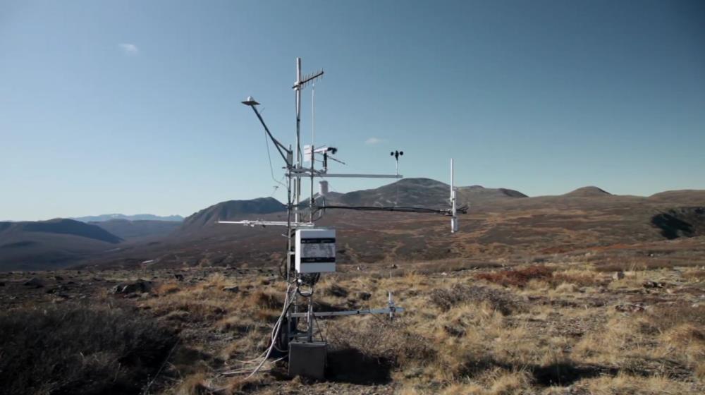
Throughout spring and fall, ice jams can occur in cold-region rivers, which may lead to flooding. When temperatures rise and flooding occurs, ice can be pushed onshore, damaging vegetation, riverbanks, shoreline ecosystems, and anthropogenic infrastructure. To help understand the outcomes of ice-jam flooding, ice-jam flood hazard assessments systems have been developed. Currently, ice-jam flood-hazard assessments rely on gauged river data to assess flooding. However, many rivers that are at risk of ice-jam flooding do not have gauges, so current hazard assessment methods are less accurate in these areas. The research conducted in this thesis determines whether dendrogeomorphological data, such as tree scars, can sufficiently replicate the long-term gauged data required for ice-jam flood-hazard assessments. Dendrogeomorphological data were collected near Prince Albert, Saskatchewan. Tree-ring data were analyzed to estimate flood dates based on the tree scars from past ice-jam flooding events. Tree scar heights were measured relative to the river water stage level to determine the water level heights of past scarring events. The dendrogeomorphological data were compared with the recorded gauged river data collected from the city of Prince Albert to assess the accuracy of the former. After the flood-stage data were collected in the field, a stage-frequency distribution was calculated and compared with the current stage-frequency distribution derived from the gauged data. The frequency distribution created from the dendrogeomorphological data could now be used in current ice-jam flood-hazard assessment systems in future research. Any uncertainties identified in the distribution were also investigated. Results showed that staging of an ice-jam flood event with a return period of 10 and 100 years were found to be 412 m a s.l. and 414 m a s.l, respectively. The new technique has the potential to improve the current limitations of ice-jam flood-hazard assessments, and advance hazard predictions in river regions with limited data, benefitting many remote communities impacted by ice-jams.
Plain Language Summary
 Metadata Editor
 Record List
 Alias List Editor
 Legacy sites

 GWFNet
 Master
 Research
 Map
Map
 Advanced
 Tools
Tools
 . . .
. . .