
Related items loading ...
Section 1: Publication
Publication Type
Journal Article
Authorship
Miller, C. E., Griffith, P. C., Hoy, E., Pinto, N. S., Lou, Y., Hensley, S., Chapman, B. D., Baltzer, J., Bakian-Dogaheh, K., Bolton, W. R., Bourgeau-Chavez, L., Chen, R. H., Choe, B.-H., Clayton, L. K., Douglas, T. A., French, N., Holloway, J. E., Hong, G., Huang, L., Iwahana, G., Jenkins, L., Kimball, J. S., Loboda, T., Mack, M., Marsh, P., Michaelides, R. J., Moghaddam, M., Parsekian, A., Schaefer, K., Siqueira, P. R., Singh, D., Tabatabaeenejad, A., Turetsky, M., Touzi, R., Wig, E., Wilson, C. J., Wilson, P., Wullschleger, S. D., Yi, Y., Zebker, H. A., Zhang, Y., Zhao, Y., and Goetz, S. J.
Title
The ABoVE L-band and P-band airborne synthetic aperture radar surveys
Year
2024
Publication Outlet
Copernicus, ESSD, 16, 2605–2624, 2024
DOI
ISBN
ISSN
Citation
Abstract
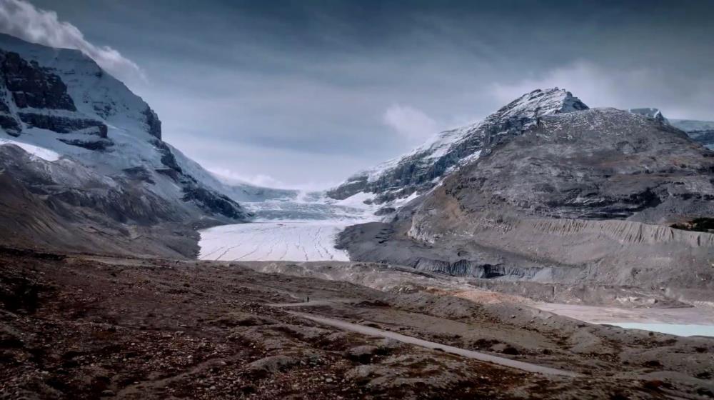
Permafrost-affected ecosystems of the Arctic–boreal zone in northwestern North America are undergoing profound transformation due to rapid climate change. NASA's Arctic Boreal Vulnerability Experiment (ABoVE) is investigating characteristics that make these ecosystems vulnerable or resilient to this change. ABoVE employs airborne synthetic aperture radar (SAR) as a powerful tool to characterize tundra, taiga, peatlands, and fens. Here, we present an annotated guide to the L-band and P-band airborne SAR data acquired during the 2017, 2018, 2019, and 2022 ABoVE airborne campaigns. We summarize the ∼80 SAR flight lines and how they fit into the ABoVE experimental design (Miller et al., 2023;
https://doi.org/10.3334/ORNLDAAC/2150). The Supplement provides hyperlinks to extensive maps, tables, and every flight plan as well as individual flight lines. We illustrate the interdisciplinary nature of airborne SAR data with examples of preliminary results from ABoVE studies including boreal forest canopy structure from TomoSAR data over Delta Junction, AK, and the Boreal Ecosystem Research and Monitoring Sites (BERMS) area in northern Saskatchewan and active layer thickness and soil moisture data product validation. This paper is presented as a guide to enable interested readers to fully explore the ABoVE L- and P-band airborne SAR data (
https://uavsar.jpl.nasa.gov/cgi-bin/data.pl).
Plain Language Summary
 Metadata Editor
 Record List
 Alias List Editor
 Legacy sites

 GWFNet
 Master
 Research
 Map
Map
 Advanced
 Tools
Tools
 . . .
. . .