
Related items loading ...
Dataset Title
Debris-cover surface temperature from TIR imagery, Peyto Glacier
Related Paper DOIs (one per line)
Abstract
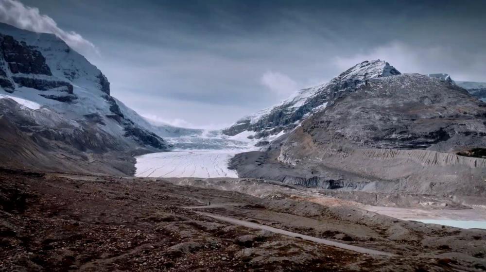
The ice-cored lateral moraine of the Peyto Glacier (51.676°, -116.554°), a well-studied outlet glacier of the Wapta Icefield in the Canadian Rockies, was selected to investigate the relationship between debris surface temperature and debris thickness. Two thermal infrared imaging radiometers were used at four locations to survey the study slope and surroundings. A Jenoptik VarioCam HD thermal infrared imaging radiometer was installed on the glacier facing the study slope at location TIR1, and recorded images at 5-minute intervals from August 5th, 2019, 17:15 to August 9th, 9:00 for a total of 1077 images over 90 consecutive hours. A second Jenoptik VarioCam Basic thermal imaging radiometer was installed at three locations for intermittent measurements during the experiment.
This resource is linked to the manuscript: Aubry-Wake, C., Lamontagne-Halle, P., Baraer, M., McKenzie, JM., Pomeroy, J. (submitted). Using ground-based thermal imagery to estimate debris thickness over glacial ice: fieldwork considerations to improve effectiveness.
It is composed of four datasets:
1) Coordinates: the location of the thermal infrared camera during the experiment, of the manual excavations and and of the ground-control points.
2) Excavations: the depth of the measured debris-thickness at 45 points
3) MET: the meteorological observations for the duration of the experiment
4) TIR: the thermal infrared images collected during the experiment, both an raw .irb format, .asci format and .png images.
Program Affiliations
Citations
Terms of Use
Does the data have access restrictions?
Datasets and Real-time Data Feeds
Download Links and Instructions
Total Size of all Dataset Files (GB)
5.3 GB
File formats and online databases
 Legacy sites
 Metadata Editor
 Alias List Editor
 Master
 Data
Data Collections
 Websites
 Map
Map
 Utilities
 . . .
. . .